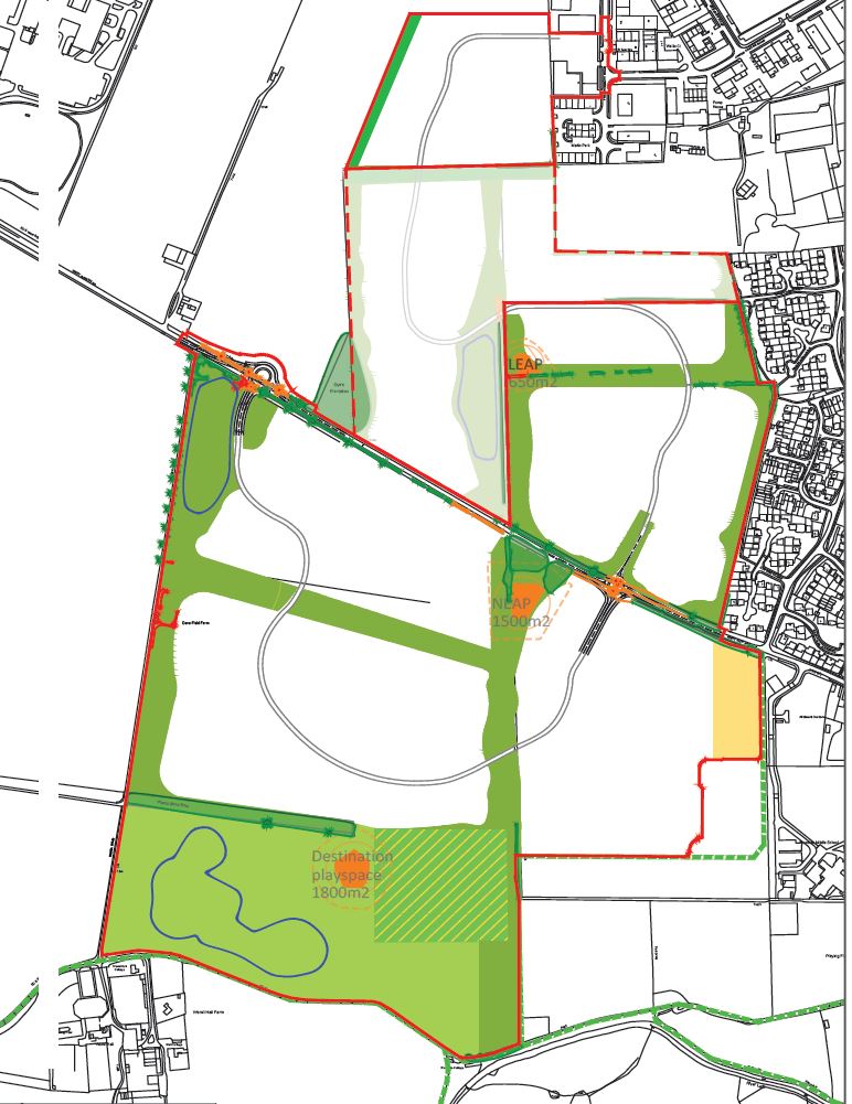
Draft Green Infrastructure Parameter Plan - for Approval
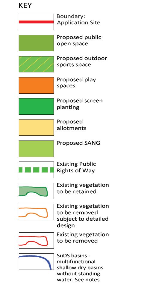
The Green Infrastructure Parameter Plan shows the overall extent of land which may be used for landscaping, surface water storage and other ‘green infrastructure’.
Notes:
Development parcels/road alignment can deviate by up to 10m upon detailed design. Proposed ground levels within the strategic open spaces are subject to a construction tolerance of up to circa +/- 1m from existing levels following cut and fill works subject to final approval by the Council Precise location and extent of basins to be approved at reserved matters stage Primary & secondary access corridor to include road, footpaths, cycle paths where necessary, service margins, verges, SuDS where included.